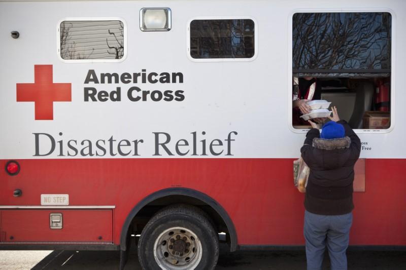
The American Red Cross will for the first time fly a drone to assess damage and funnel aid to areas of Houston flooded by Hurricane Harvey over the last two weeks, the agency and sponsors said on Thursday.
(Reuters) – The American Red Cross will for the first time fly a drone to assess damage and funnel aid to areas of Houston flooded by Hurricane Harvey over the last two weeks, the agency and sponsors said on Thursday.
The Red Cross is expected to be the largest U.S. non-profit aid group to employ the technology when it begins flights next week in a test program that could be used after disasters in other parts of the United States.
The agency will deploy one drone and conduct a one-week test in an area of Houston badly affected by the flooding from Harvey, which came ashore on Aug. 25 as the most powerful hurricane to hit Texas in more than 50 years. It killed an estimated 50 people and caused as much as $180 billion in damage.
Harvey marks the second major hurricane since the Federal Aviation Administration loosened restrictions on drones last June, allowing greater use for filming, inspecting facilities and other commercial activities.
The use of commercial drones to hover over the destruction from Harvey has ushered in an unprecedented test of an unmanned aircraft&rsquo-s ability to assess billions of dollars in damage for the insurance industry and accelerate payouts for harried policyholders.
The Red Cross program uses an aircraft built by Danvers, Massachusetts-based drone maker CyPhy Works. It is funded by the charitable foundation of United Parcel Service (UPS.N), which owns a stake in CyPhy Works and is using its drones to test package delivery, said UPS spokesman Glenn Zaccara.
The images the Red Cross captures will help assess damage and funnel aid, though imagery could be shared with other organizations, Zaccara said.
The drone, tethered to a power supply, can fly up to 400 feet high to record several days&rsquo- worth of photos on homes miles away, Zaccara said.
Depending on the results in Houston, the drone could be used to assess damage from Hurricane Irma, Zaccara said. The storm was on track to hit Florida over the weekend.
 0 comments


